Geodetic surveying involves accurately determining the position of points on the earth’s surface. This is critical to accurately determine property locations, boundaries and collect and manage geospatial data.
The Survey Operations Unit:
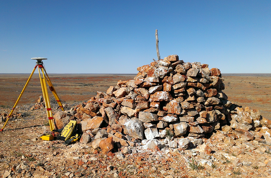
provides high precision geodetic surveys
supports Geoscience Australia to operate a network of Global Navigation Satellite System (GNSS) Continuously Operating Reference Stations (CORS); the strategically located reference stations continuously receive GNSS signals and provide real-time, high-precision positioning data, enabling surveyors and other users to determine accurate locations
As part of an ongoing improvement process, the Government of South Australia is collaborating with Geoscience Australia to undertake an airborne gravity survey over Adelaide and surrounding regional areas in July 2024.
This survey will collect new gravity data which will provide more accurate height information and improve the Australian Vertical Working Surface (AVWS), a new reference surface for heights in Australia. This new surface will improve height determination from GPS positioning but will not replace the Australian Height Datum (AHD).
Height information is used when producing elevation models crucial for construction and development activities, as well as environmental risk analysis (i.e. flooding, sea level rises and bushfire risk).
Find more information about the gravity survey
Factsheet - Airborne gravity surveyDownload PDF |
194 KB
We acknowledge and respect Aboriginal peoples as the state's first peoples and nations, and recognise them as traditional owners and occupants of land and waters in South Australia. Further, we acknowledge that the spiritual, social, cultural and economic practices of Aboriginal peoples come from their traditional lands and waters, that they maintain their cultural and heritage beliefs, languages and laws which are of ongoing importance, and that they have made and continue to make a unique and irreplaceable contribution to the state. We acknowledge that Aboriginal peoples have endured past injustice and dispossession of their traditional lands and waters.
Grow with ConnectPlus
Join ConnectPlus to:
Access personalised content
Find out about available grant funding
Discover great training programs and initiatives
Uncover South Australia’s export capabilities across key industries and sectors
See the latest investment opportunities in the state or upload your own
Access the latest news, insights and upcoming events.